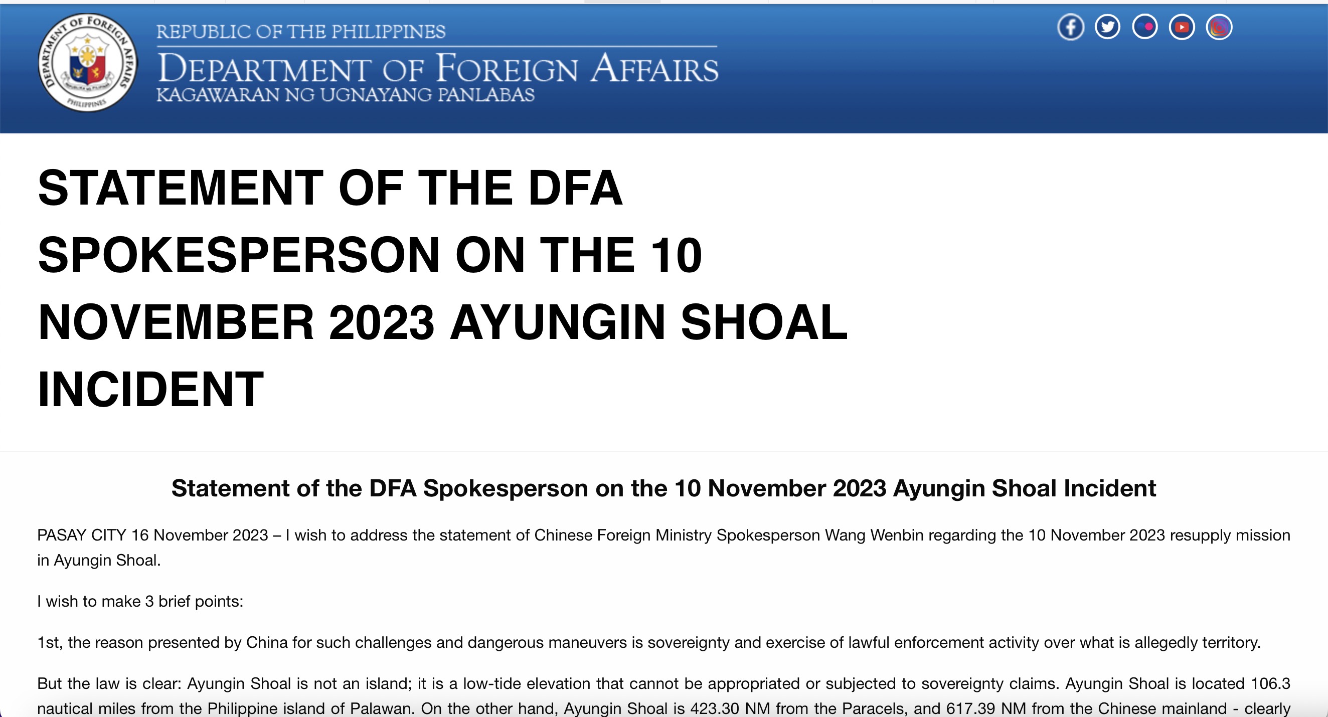
Recently, in diplomatic démarches or statements regarding the Second Thomas Shoal (also known as Ren'ai Jiao in China; Ayungin in the Philippines), the Philippines has repeatedly stressed that “Ayungin Shoal is not an island; it is a low-tide elevation that cannot be appropriated or subjected to sovereignty claims. Ayungin Shoal is located 106.3 nautical miles from the Philippine Island of Palawan. On the other hand, Ayungin Shoal is 423.30 NM from the Paracel’s, and 617.39 NM from the Chinese mainland - clearly beyond the 200 NM maximum maritime entitlement for an EEZ under UNCLOS. In accordance with UNCLOS and the final and binding 2016 Award in the South China Sea Arbitration, Ayungin Shoal is ‘within the exclusive economic zone and continental shelf of the Philippines,’ over which the Philippines has sovereign rights and jurisdiction. China cannot, therefore, lawfully exercise sovereignty over it."[1]

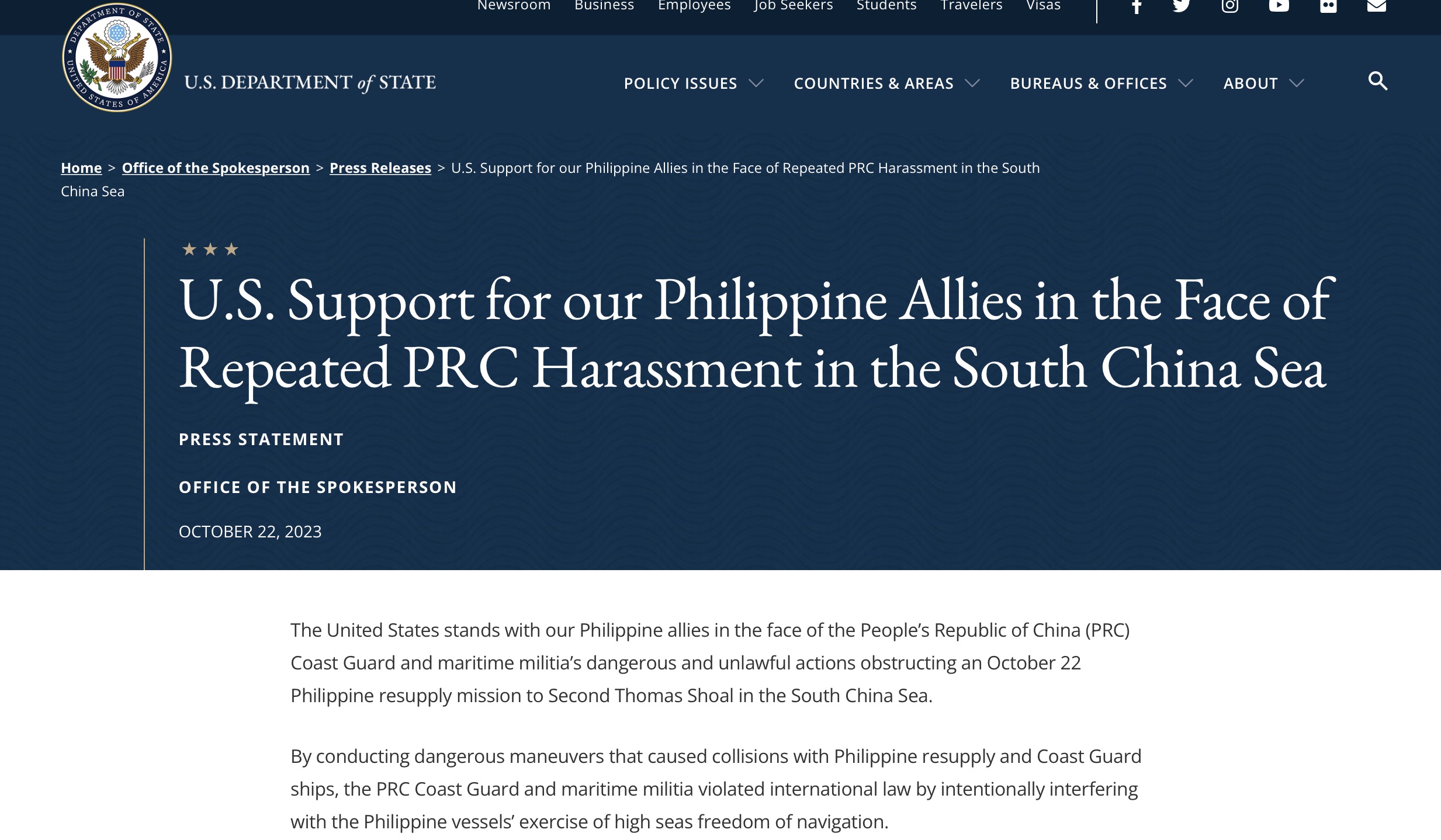
Similarly, in its statement of support for the Philippines' South China Sea claims, the US also underlined that "Second Thomas Shoal is a feature well within the Philippine exclusive economic zone and on the Philippine continental shelf. An international tribunal’s July 2016 decision – legally binding on both the Philippines and PRC – made clear that 'there exists no legal basis for any entitlement by China to maritime zones in the area of Second Thomas Shoal.' The same ruling affirmed that Second Thomas Shoal is a low-tide elevation outside the territorial sea of another high tide feature – as such, the PRC’s territorial claims to it are unfounded."[2]

These statements pivot on the contested premise that the South China Sea Arbitration ruling categorizes Second Thomas Shoal as a low-tide elevation.[3] But is Second Thomas Shoal truly a low-tide elevation?[4] What specific evidence formed the basis of this conclusion? Are these pieces of evidence admissible, relevant, and sufficient under the established rules of international adjudication? Additionally, did the Tribunal apply the appropriate standard of proof – “preponderance of evidence” or “proof beyond reasonable doubt” – in reaching this determination?[5] In particular, are they capable of satisfying the requirements of Article 9 of Annex VII to the United Nations Convention on the Law of the Sea (UNCLOS), thus ensuring that the arbitral award is well founded in fact and law?
According to the definition in Article 13 of UNCLOS, a low-tide elevation is a naturally formed area of land which is surrounded by and above water at low tide but submerged at high tide. The Award's determination of Second Thomas Shoal as a low tide elevation, a key finding, rests on a limited evidentiary foundation. Contained within just three paragraphs (paragraphs 379-381) and totaling 454 words, the conclusion primarily relies on two documents: the 1944 British "Sailing Directions for the Dangerous Ground"[6] and the 2011 Chinese "China Sailing Directions: South China Sea (A103).[7] Unpacking the evidentiary puzzle: This paper offers a critical analysis of paragraphs 379-381 of the Arbitral Award, focusing on their role in the determination of Second Thomas Shoal's legal status. The established rules of evidence will be employed to assess the relevance, admissibility, and persuasive power of the presented materials, ultimately questioning their sufficiency in meeting the required standard of proof.[8]
First, the two pieces of evidentiary material are not competent evidence.[9] As the International Court of Justice stated in the Territorial and Maritime Dispute between Nicaragua and Colombia, "Those charts were prepared in order to show dangers to shipping at ……(area), not to distinguish between those features which were just above, and those which were just below, water at high tide."[10] The Arbitral Tribunal was fully aware that the function of nautical survey reports, sailing directions and charts is to aid navigation, with the aim of guaranteeing the safety of navigational operation,[11] and not to be used for the purpose of identifying the nature and legal status of maritime features and distinguishing between islands, reefs, low-tide elevations and submerged features.
The Arbitral Tribunal was also clearly aware that "as a general matter, the most accurate determination of whether a particular feature is or is not above water at high tide would be based on a combination of methods, including potentially direct, in-person observation covering an extended period of time across a range of weather and tidal conditions."[12]
However, the ruling rendered its finding solely by using "navigation guides". Given the function of navigation guides, which by their very nature are inherently designed for practical seafaring, they might at best serve as supplementary information for determining the nature of maritime features, but should not serve as the main evidence, and certainly not as the sole basis.
Moreover, the Royal Navy's 1944 Sailing Directions for the Dangerous Ground , published more than 70 years ago, is clearly that the probative value of age-old material is questionable. As the International Court of Justice has rightly pointed out that what is relevant to the issue before it is the contemporary evidence and not nautical guides and surveys from many years or decades ago.[13]
Second, the two “navigation guides” relied upon by the ruling do not constitute sufficient evidence. The tribunal knew that Second Thomas Shoal was poorly charted,[14] and in fact, the information contained in those navigation guides is very limited. Due to various reasons such as being off the main shipping routes, being a dangerous ground for navigation, and complicated territorial disputes over islands and reefs, comprehensive hydrographic surveys have not been conducted. Almost all navigation guides and nautical charts currently used internationally acknowledge this fact.[15] The latest edition of the United States’ Sailing Directions(Pub. 161 South China Sea and the Gulf of Thailand) still emphasizes, “In the SE part of the South China Sea lies an oblong area about 52,000 square miles in extent, known as Dangerous Ground. Dangerous Ground is a large area to the NW of the Palawan Passage which is known to abound with dangers. No systematic surveys have been carried out in the area, and the existence of uncharted patches of coral and shoals is likely.”[16] Not only that, but also the United States’ Sailing Directions observes that "Due to the conflicting dates and accuracy of the various partial surveys of Dangerous Ground, certain shoals and reefs may appear on one chart, but not on Charted depths and their locations may present considerable error in the lesser known regions of this area. Avoidance of Dangerous Ground is the mariner's only assurance of safety."[17]
The arbitration tribunal, fully aware of the limitations of such evidence,[18] nonetheless used insufficient and inappropriate evidence to make hasty determinations. In fact, the tribunal didn't even compare the descriptions of the Second Thomas Shoal from all the navigation guides it had obtained, nor did it seriously distinguish the differences among them and analyze the underlying reasons.
Third, and even more unacceptable, is that the interpretation of the two pieces of evidence contains obvious errors of logic. Paragraph 380 of the Award states that “the Tribunal notes in particular the description of rocks that ‘are almost certain to be visible at low water’ and takes this as an indication that no rocks on the reef would be visible at high water.” However, "visible at low tide" doesn't necessarily mean submerged at high tide. The only logical conclusion from this statement is that further observation at high tide is required to determine whether Second Thomas Shoal is above or below mean high tide.[19] This cannot rule out the possibility of Second Thomas Shoal being visible at high tide. There is clearly a fundamental logical flaw in this argument.
Fourth, the evidential material used in the ruling was incomplete. The document submitted by the Philippines, "China Sailing Directions: South China Sea (A103)" was incomplete. The description of Second Thomas Shoal contains only half of the intended text (up to page 179) and lacks a corresponding English translation. The award cited page 180 of the "China Sailing Directions", a page that was completely missing from the evidence submitted.[20]
Fifth, these two pieces of evidence have significant defects and are utterly insufficient for accurately determining the nature of Second Thomas Shoal. They are also in clear violation of the principle of "best available evidence," one thing, these pieces of evidence are not the best evidence to judge the nature of the feature from any perspective; for another, from the perspective of its availability, the Philippines was physically able to conduct a relevant hydrographic observation/survey, but the Philippines did not provide any information and data in this regard.
Article 9 of Annex VII to the UNCLOS provides that "[b]efore rendering its award, the arbitral tribunal must satisfy itself not only that it has jurisdiction over the dispute, but also that the claim is well founded in fact and in law". The standard of proof under "well founded in fact” , as interpreted by Judge Wolfrum in the M/V Saga case, is not merely a “preponderance of evidence” but a “proof beyond reasonable doubt.”[21] In a departure from his previously articulated standard, Judge Wolfrum appears to have contradicted his own established principle with the finding.
The above critical examination of the reasoning of arbitral ruling unveils the fragility of its finding regarding the Shoal's nature. The dependence on Philippines' selective and decontextualized claims, alongside antiquated evidentiary material, casts serious doubt on the finding's impartiality and accuracy. It is difficult to reconcile the characterization of Second Thomas Shoal as a low-tide elevation with the inherent limitations of relying on such demonstrably deficient and insufficient evidence.
“The role of the arbitrator or evaluator is to issue a determination or an evaluation based solely upon the objective facts and merits of the case.”[22] The finding, however, appears to deviate from this principle. Its flimsy construction, built upon a foundation of disregarded facts and weak arguments, fails to meet the expected threshold of judicial and professional quality. The absence of clear, compelling evidence and persuasive justification for the conclusions drawn raises questions about the impartiality and ethical considerations guiding the arbitral process.
Embracing the arbitral award like an infallible decree, the Philippines sails towards perilous waters, oblivious to the deceptive lure of the siren's song.[23]

